MOBILE/AERIAL MAPPING SOLUTIONS
STORMBEE is a pioneer in 3D Mobile Mapping Solutions.
Unlike other companies in this sector, STORMBEE uses
different platforms to make scans from objects,
building sites, infrastructure, geological areas, …
Try/Buy or Rent
Beemobile?
Contact us!
When 1 millimetre counts
Say STORMBEE and think 100% performance, 100 % top technology and profit all over.
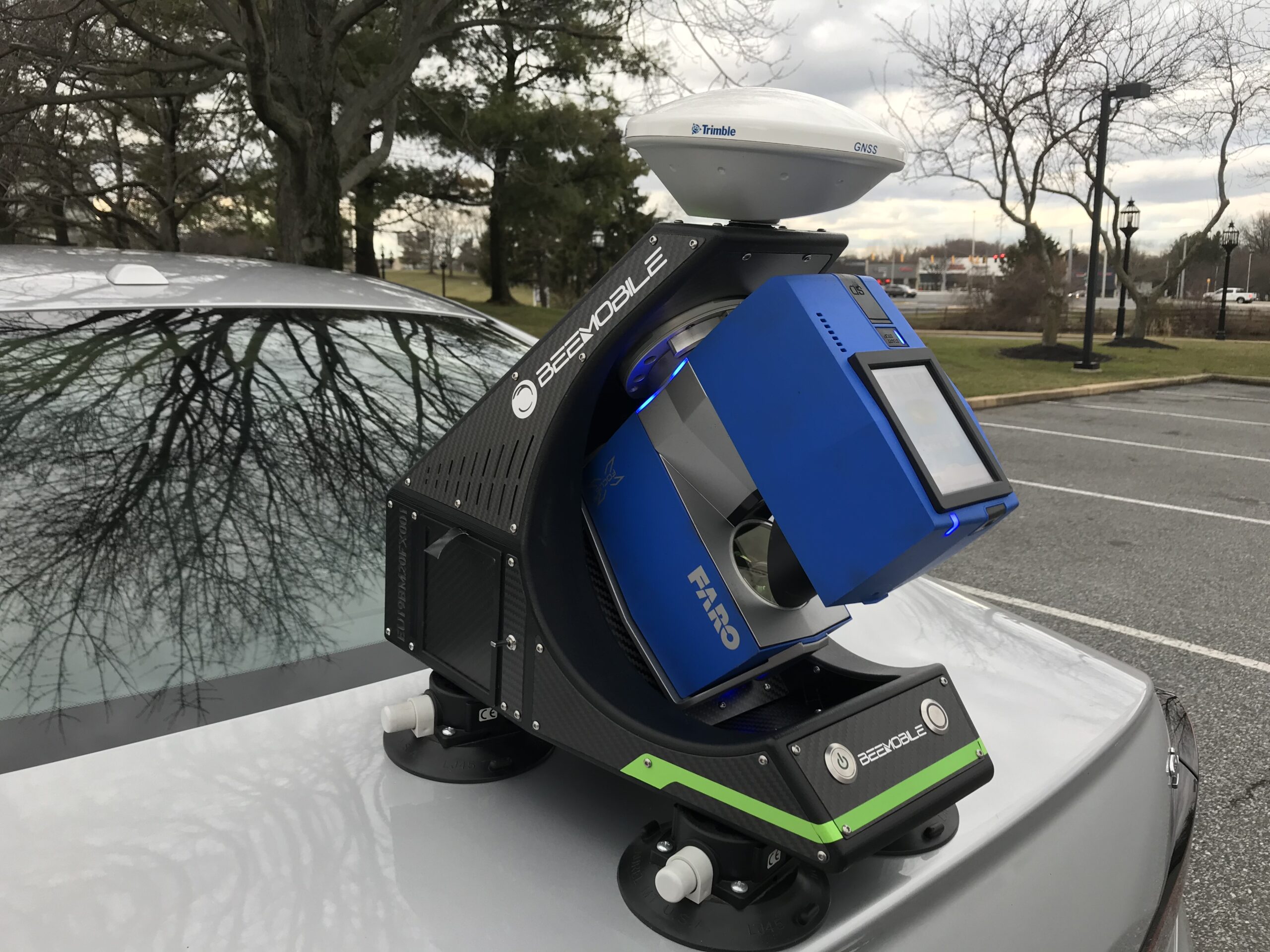
From the sky, from over the water or land, with its design-drones UAV S20 and mobile platforms BEEMOBILE does not only laser scan places that are hardly reachable, but also performs under the harshest of conditions up to an unbeatable precision of 1mm.
There are a legion of application possibilities and domains: Industrial Maintenance Controls, Land Surveying, Power Line Inspection, Topographic & Infrastructure Surveys, Forensic & Crime Scene Survey, Forestry & Precision Agriculture, Mining,… and always: quick, user-friendly and very accurate.
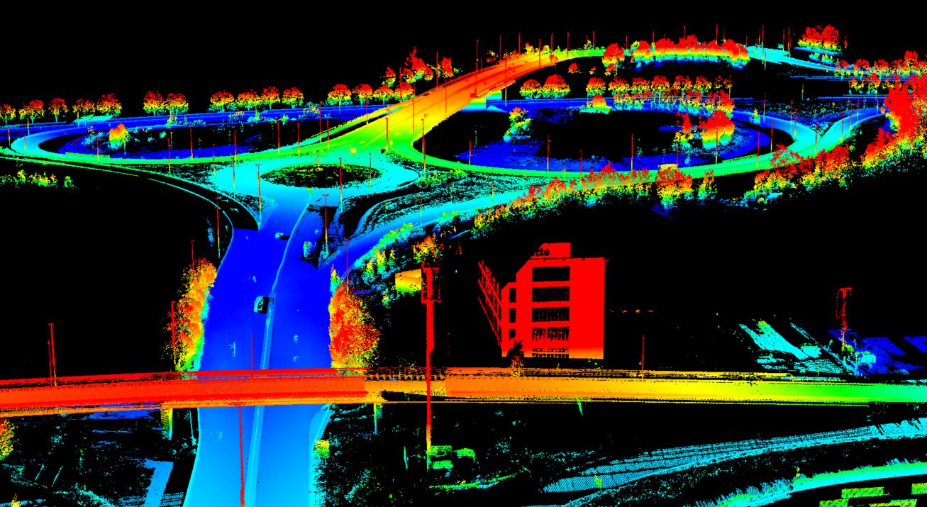
STORMBEE does a lot better than its direct competition. And that is no coincidence. STORMBEE is world leader in mobile mapping technology and relies on an unmatchable 3D-laser scanning experience in the most complex and high-demanding circumstances. Each application is developed in-house, modified to the needs of the site that has to be scanned and is produced on the premises. Coupled with STORMBEE’s in house developed and user-friendly BEEFLEX-software a laser scan becomes – in real-time – a very detailed and ready-to-implement RD point cloud.
No doubt about STORMBEE’s undeniable range of benefits. An absolute gain maker for the industry. An unbeatable weapon for crime scene & forensic investigators and by far for all domains of use: the most performance reliable mobile 3D-laserscanning solution on the market.
Testimonials
News & Events

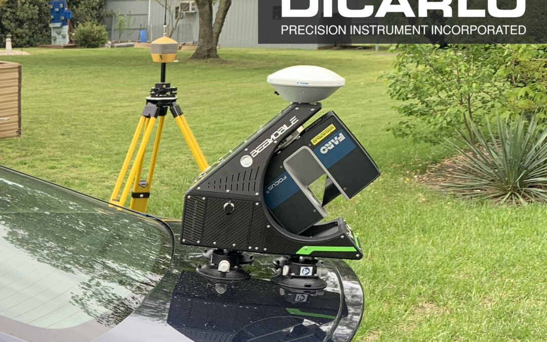
Partnership with DiCarlo Precision Instruments
STORMBEE NA LLC is delighted to announce the partnership with DiCarlo Precision Instrument Inc. STORMBEE, with headquarters in Belgium and sales office in US, engineers, designs and manufactures mobile mapping systems. DiCarlo Precision Instrument Inc, based in...

STORMBEE & BEEMOBILE @ New York Build, March 3-4, 2020
Visit us at New York Build Expo - March 3rd & 4th, 2020 - Booth 532 New York Build is the largest and market-leading construction show for New York. Since its launch 4 years ago, New York Build has steadily built up a loyal following of construction industry...

STORMBEE & BEEMOBILE@ Las Vegas, Oct 28-30, 2019
Visit us at Commercial UAV Expo - Las Vegas, Oct 28-30, 2019, Booth 830 Join more than 2,500 professionals at the leading commercial drone conference and expo October 28-30, 2019. With top-notch education and an unparalleled exhibit floor filled with the highest...

STORMBEE @ Intergeo Stuttgart 17-19 September 2019
Visit us at Intergeo - Stuttgart, 17-19 September 2019 , Hall 3, Booth F3.067 INTERGEO covers a wide variety of fields, ranging from surveying, geoinformation, remote sensing and photogrammetry, UAV to complementary solutions and technologies. Processing, using and...
Applications
The concept of STORMBEE is high-tech. STORMBEE is state of the art technology thanks to the unique, compatible and fluid collaboration with FARO, specialised in airborne, mobile mapping and sophisticated scanners. The partnership between STORMBEE and FARO makes it possible to scan efficiently and quickly large areas even chemical plants, large factories, open pit mines.

Infrastructure surveys

Agriculture & Forestry

Civil Engineering & Surveying

Archeology


