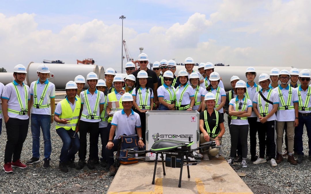
Portcoast Consultant Corporation (Portcoast) is the first enterprise in Vietnam to apply Stormbee UAV S-20 for survey and structural assessment as well as for digitizing 3D as- built data of constructions.
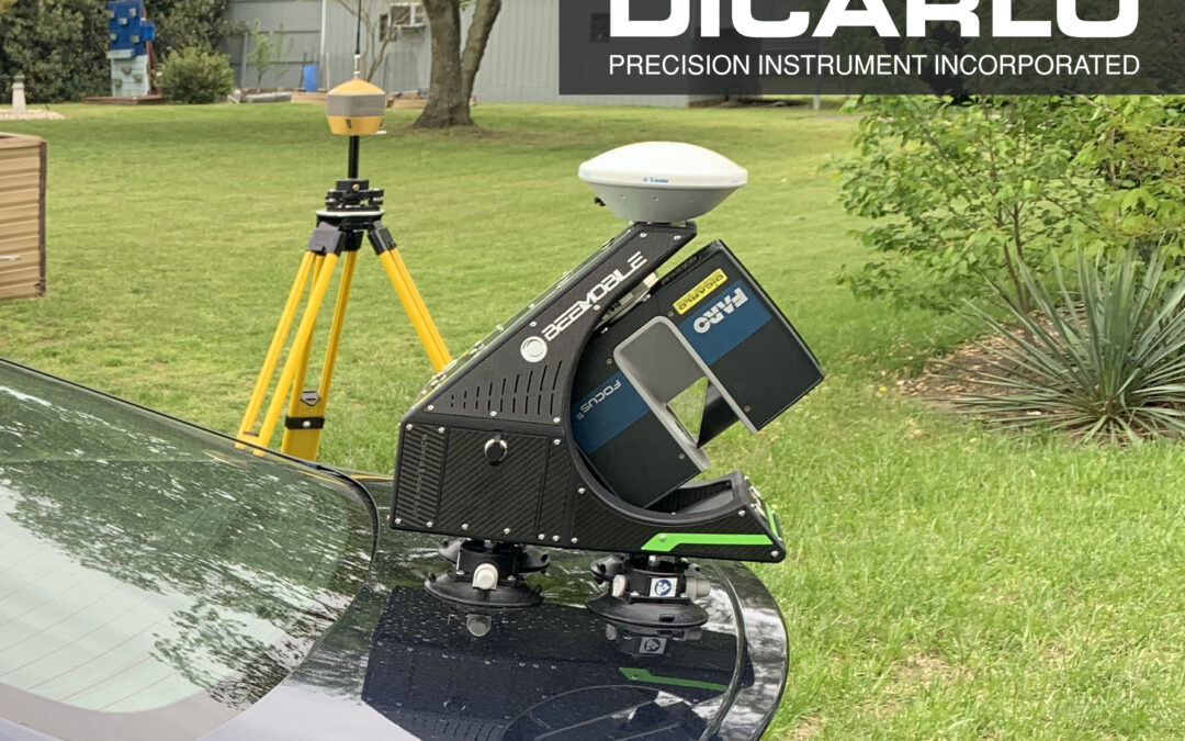
From the sky, this drone is capable of scanning all subjects on land for capturing all required data for processing and detecting technical errors and risk of possible damages of the existing works with an unbeatable precision of upto 1 cm.
According to the representative of Vietnam Association of Port – Waterway – Offshore Engineering (VAPO), the topography survey has been being carried out by merely measuring points and then producing 2D maps so far. All activities of this survey work have been implemented manually and thus such process is inefficiency as it takes a lot of time and manpower.
The application of Stormbee UAV is very essential as it allows quickly scanning large areas with all existing objetcs. This device can be used for all large-scale, complicated projects with all terrains in order to support the project owners, construction contractors in verifying the projects, detecting possible errors and risks of damages for timely solutions.
On July 23rd, Stormbee UAV is being applied for structural inspection and development of 3D drawings for the existing port located in Cai Mep – Thi Vai area. This is also the first terminal surveyed by using Stormbee UAV S-20 in Southeast Asia.
Source: Viet Nam Government News on July 23rd, 2019